
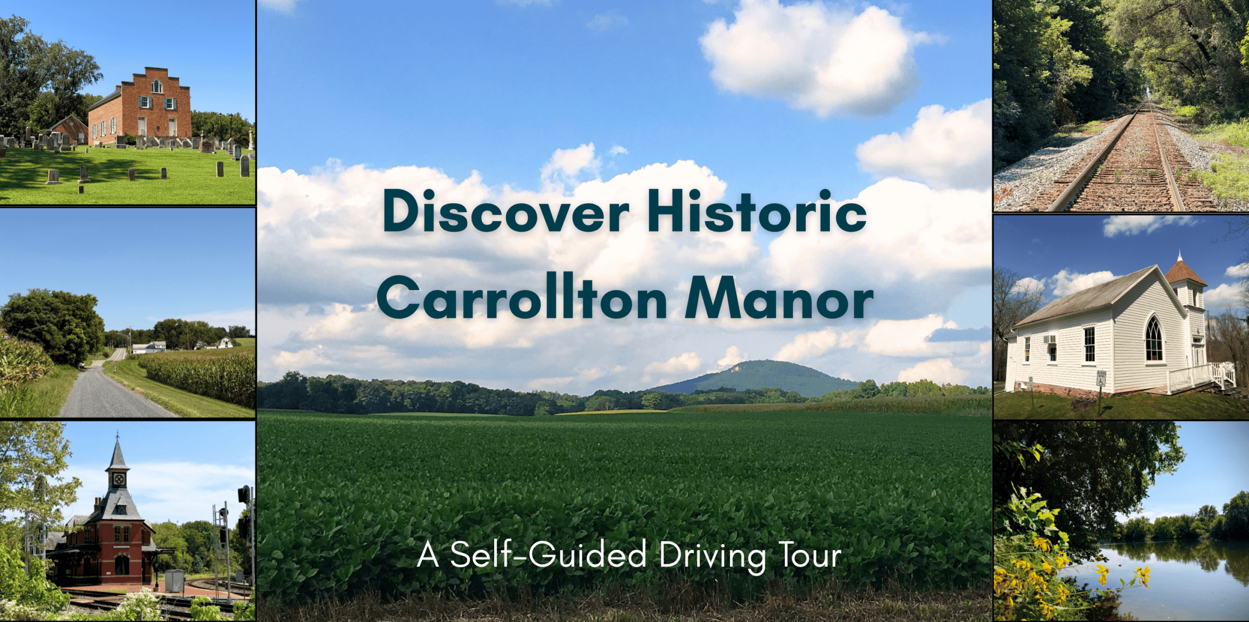
As you explore the historic Carrollton Manor, please be respectful of private property and to not trespass beyond public roadways. Sites with onsite parking and the opportunity to explore further are noted in the tour descriptions below.
Begin your tour at Saint Joseph on Carrollton Manor Catholic Church on Manor Woods Road.
Sites 1 and 2
*Onsite parking is available at the historic Saint Joseph’s on the Manor Catholic Church. No access is available to the Patterson House/Tuscarora Farm beyond views from the church property and Manor Woods Road.
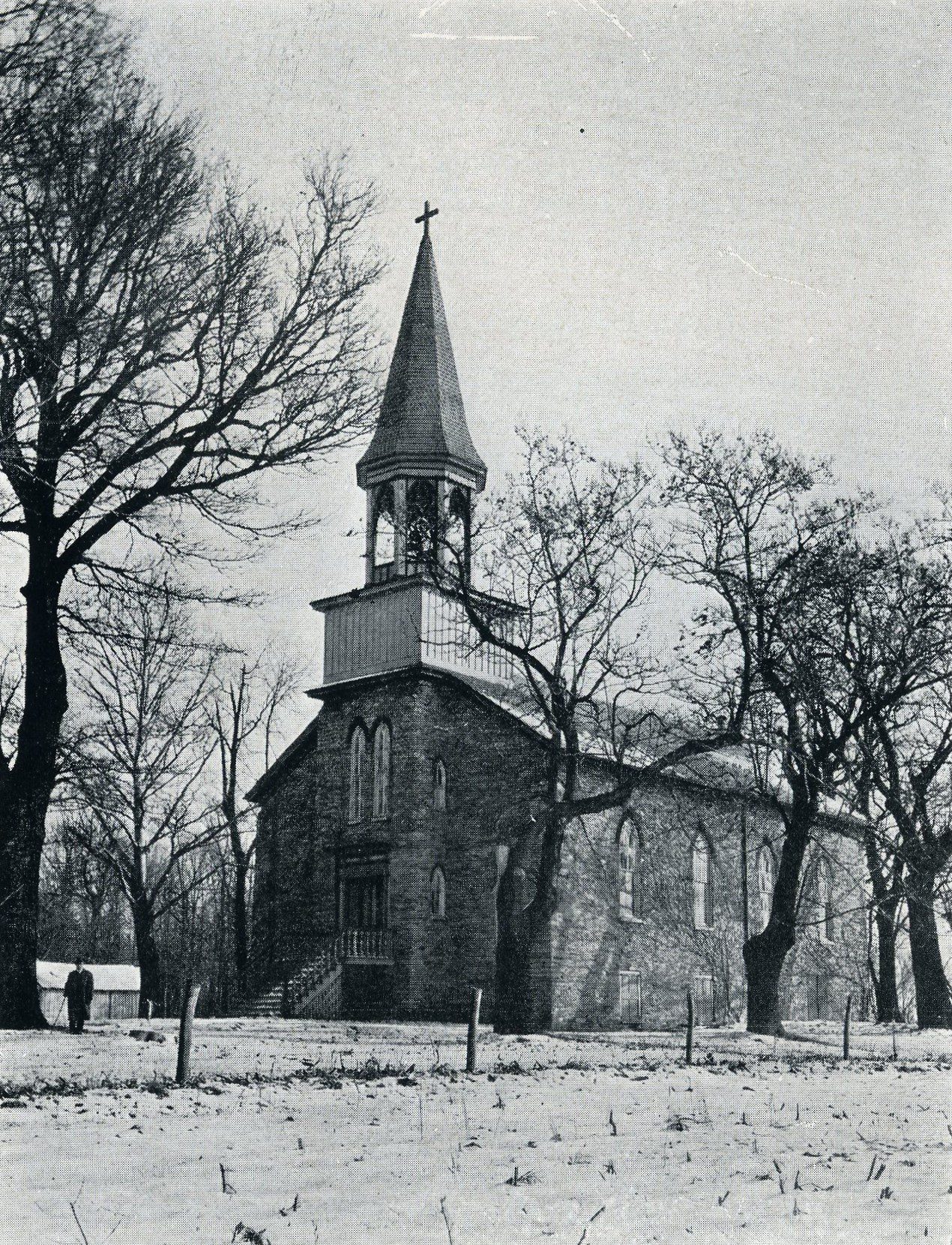
Catholic families residing on Carrollton Manor appealed to Father Francis Maleve (a Jesuit priest who came to Frederick in 1809) to establish a church near the Manor. Charles Carroll of Carrollton granted 2 acres for the church, but the original site was exchanged for the present one in 1822 by a deed signed by Carroll’s granddaughter Marianne Caton Patterson. The present historic church contains within its walls the original stone building of 1822. In 1870-71, the church was expanded to its present size.
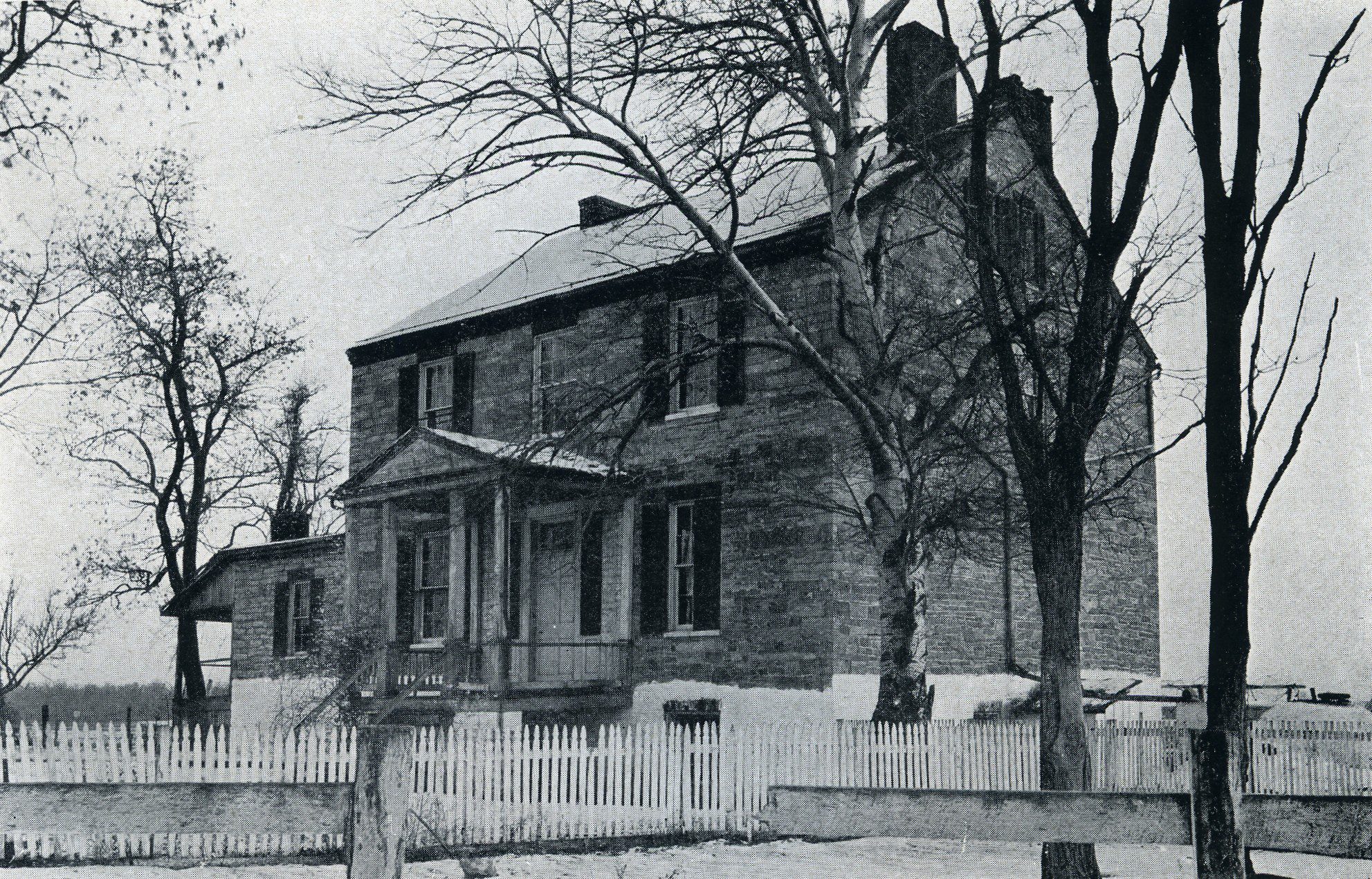
Nearby to Saint Joseph’s Church is the Patterson House, also known as Tuscarora. This large stone federal style residence was built around 1820 by Robert Patterson and Marianne Caton Patterson (later Wellesley). Marianne was the daughter of Mary Carroll Caton and granddaughter of Charles Carroll of Carrollton.
Leaving Saint Joseph’s, turn right onto Manor Woods Road and follow into Buckeystown. The next site will be on your left as you enter Buckeystown.
Site 3: Site of the Buckeystown Cannery
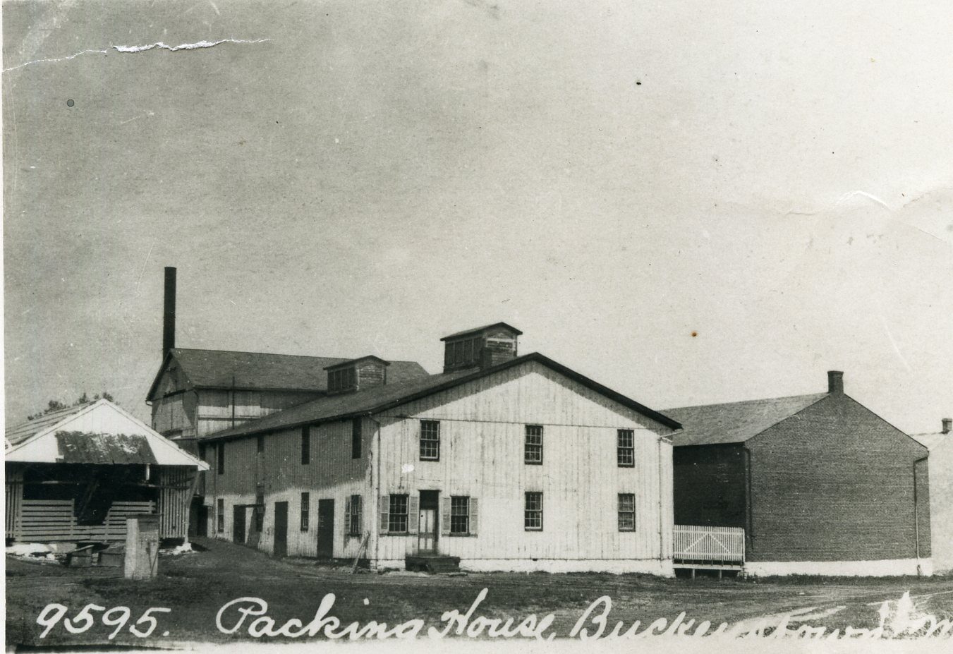
The village of Buckeystown on the margin of Carrollton Manor was the site of several industries supported by the local farms. The trio of frame and brick warehouses on the left side of Manor Woods Road as you approach the village were begun in 1892 as the Buckeystown Packing Company. Two decades earlier, Louis McMurray established the first cannery in Frederick County and purchased hundreds of acres of Carrollton farms to grow sugar corn. The Buckeystown cannery initially focused on processing sugar corn, but then expanded to canning succotash, beets, peas, pumpkin, and peaches. The cannery closed in 1951.
Turn right onto Buckeystown Pike (MD-85). After passing through Buckeystown, continue south on Buckeystown Pike. The next site will be on your right after you pass the intersection with MD-80, a large red brick farm house.
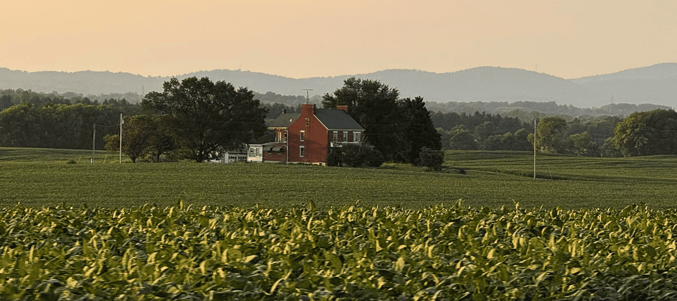
Site 4: Ellerslie
Joseph Chiswell acquired this land from Charles Carroll of Carrollton’s granddaughter Emily McTavish in 1852 and built the brick farmhouse shortly thereafter. Chiswell invested in the Buckeystown Turnpike Company, serving as president of the corporation that laid out the modern MD Route 85 from Frederick, through the eastern portion of Carrollton Manor, to the confluence of the Monocacy and Potomac Rivers.
Continue south on Buckeystown Pike. Turn right onto Tuscarora Road (MD-28).
Site 5: Tuscarora
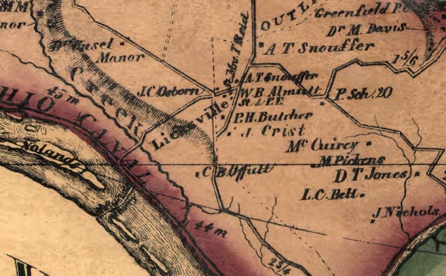
Originally called Licksville, this small community was renamed Tuscarora after the nearby depot on the B&O Railroad. George Washington visited a tavern here on August 5, 1785, as he traveled along the Potomac River to survey a potential route for a canal. He entered in his diary that “we dined at the Dutch Man’s 2 miles above the Mouth of Monocacy.” Tuscarora served travelers entering Carrollton Manor at a busy crossroads near Noland’s Ferry, with taverns, blacksmith and wagon shops, and stores. The Post Office is located in a store built by John C. Lamar in 1879. The name Tuscarora was derived from Native Americans who lived briefly in the region during their migration from the Carolina backcountry to join the Haudenosaunee (Iroquois) Confederacy in the 1720s.
After passing through Tuscarora, continue on MD-28 and turn left onto New Design Road, following National Park signage to the Noland’s Ferry parking area along the C&O Canal.
Site 6: Site of Noland’s Ferry
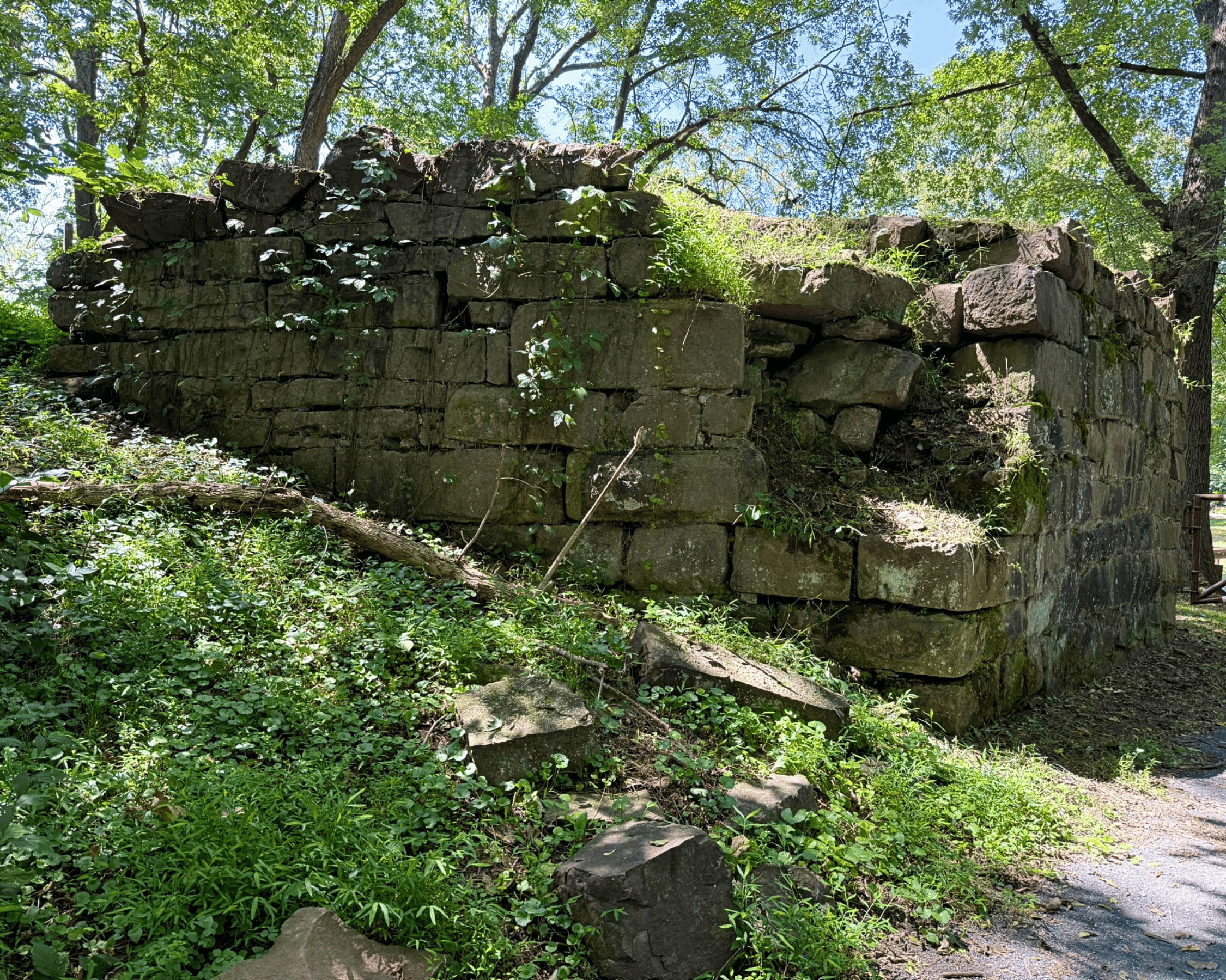
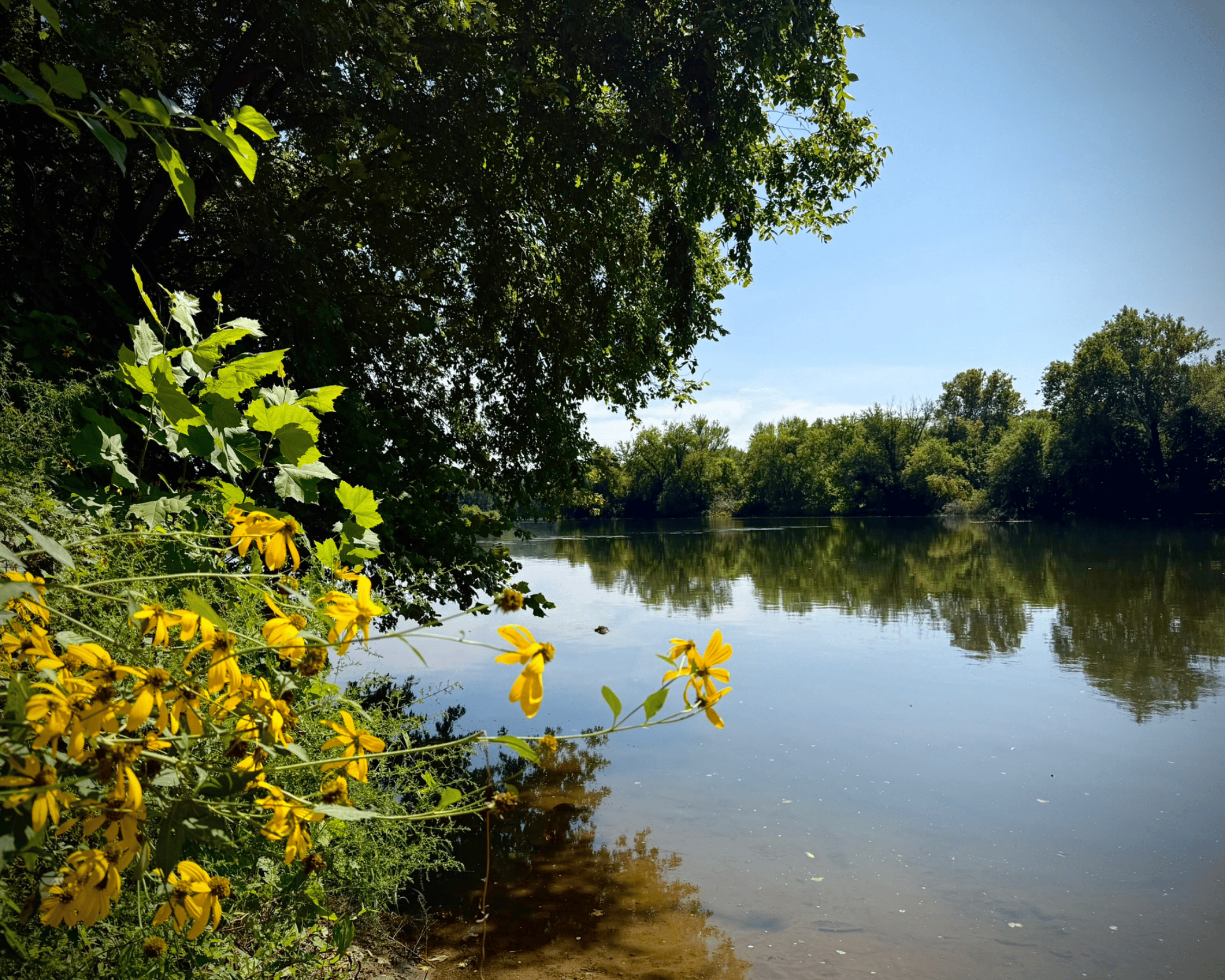
The primary overland route for travelers passing through Carrollton Manor in the 18th century was the Carolina Road. Beginning at Occaneechi Island near the North Carolina/Virginia border, the Carolina Road extended north through the Maryland backcountry into Pennsylvania. A ferry was established at this site as early as 1735 to carry passengers and trade across the Potomac River. The ferry later took its name from Philip Noland who took over its operation in 1754. Noland’s Ferry was utilized for troop movements during the Revolutionary War. The ferry also carried enslaved people trafficked between the Mid-Atlantic and the Deep South in the domestic slave trade during the early-19th century. As you cross the canal, two large stone ruins are visible to the right. These once supported a bridge that crossed the canal leading down to the ferry.
Return to Tuscarora Road (MD-28) from the Noland’s Ferry parking area. Make a slight right then left turn to continue north on New Design Road. For the next three miles, you will be driving through the heart of Carrollton Manor’s historic farmland.
Turn left onto Doubs Road. Continue straight onto Pleasant View Road. You will pass the next site approximately 400 feet from the intersection.
Site 7: Site of Carroll’s Mill
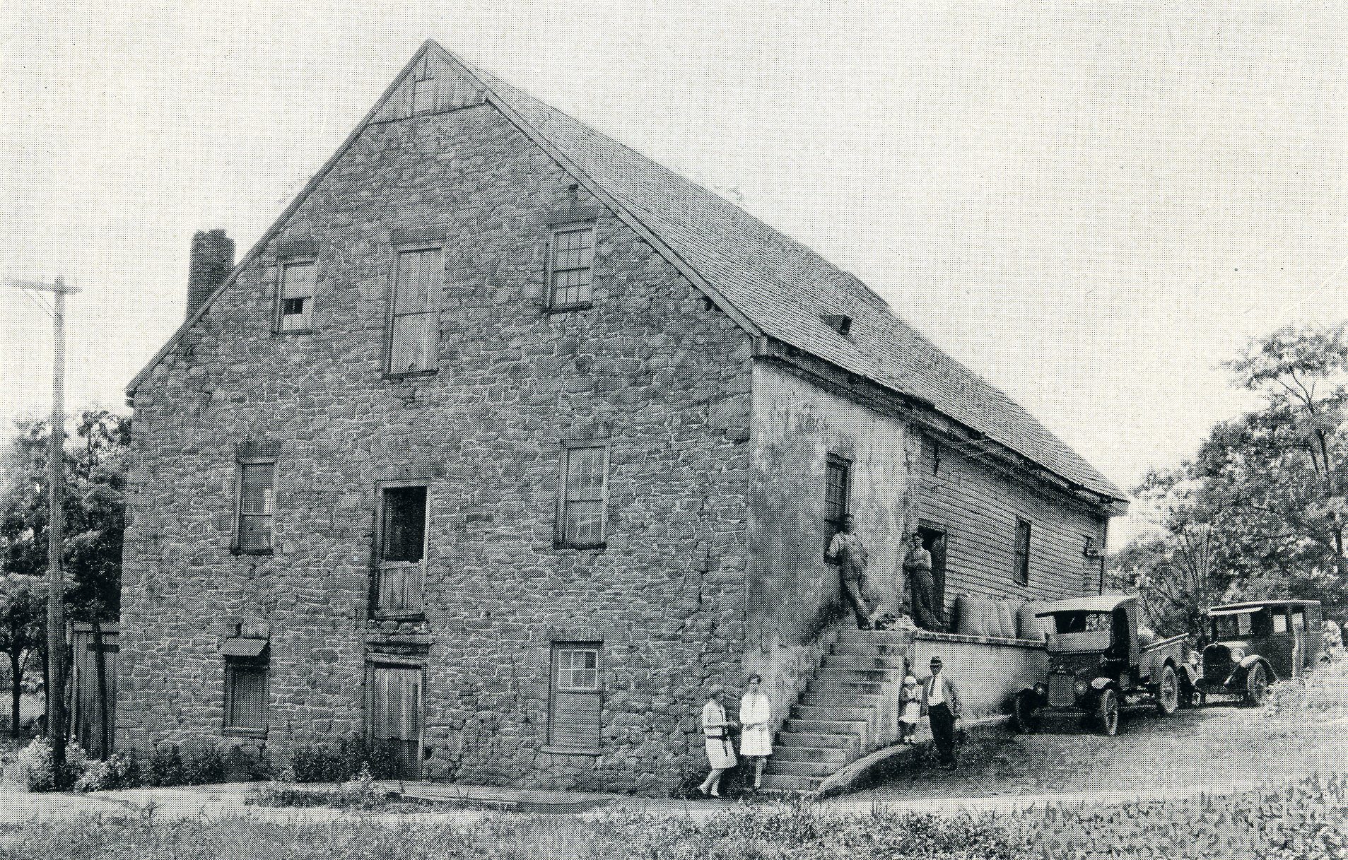
On the northside of Pleasant View Road near the train depot at Doubs stood Carroll’s Mill. Mills were essential for processing the tens of thousands of bushels of wheat, oats, rye, barley, and corn grown on Carrollton Manor in the 18th and 19th centuries. Charles Carroll of Carrollton built a sandstone mill on the site in 1812, replacing an earlier structure. In 1821, Carroll sold the mill to Sarah Ann Hoffman. The mill was powered by Doub’s Branch which falls into Tuscarora Creek nearby. In 1860, the mill, then operated by George Copeland, processed 3,000 bushels of rye and corn as well as 50 bushels of plaster for fertilizing agricultural fields.
Continue south on Pleasant View Road. After traveling 1.3 miles, you will reach the next site.
Site 8: Pleasant View
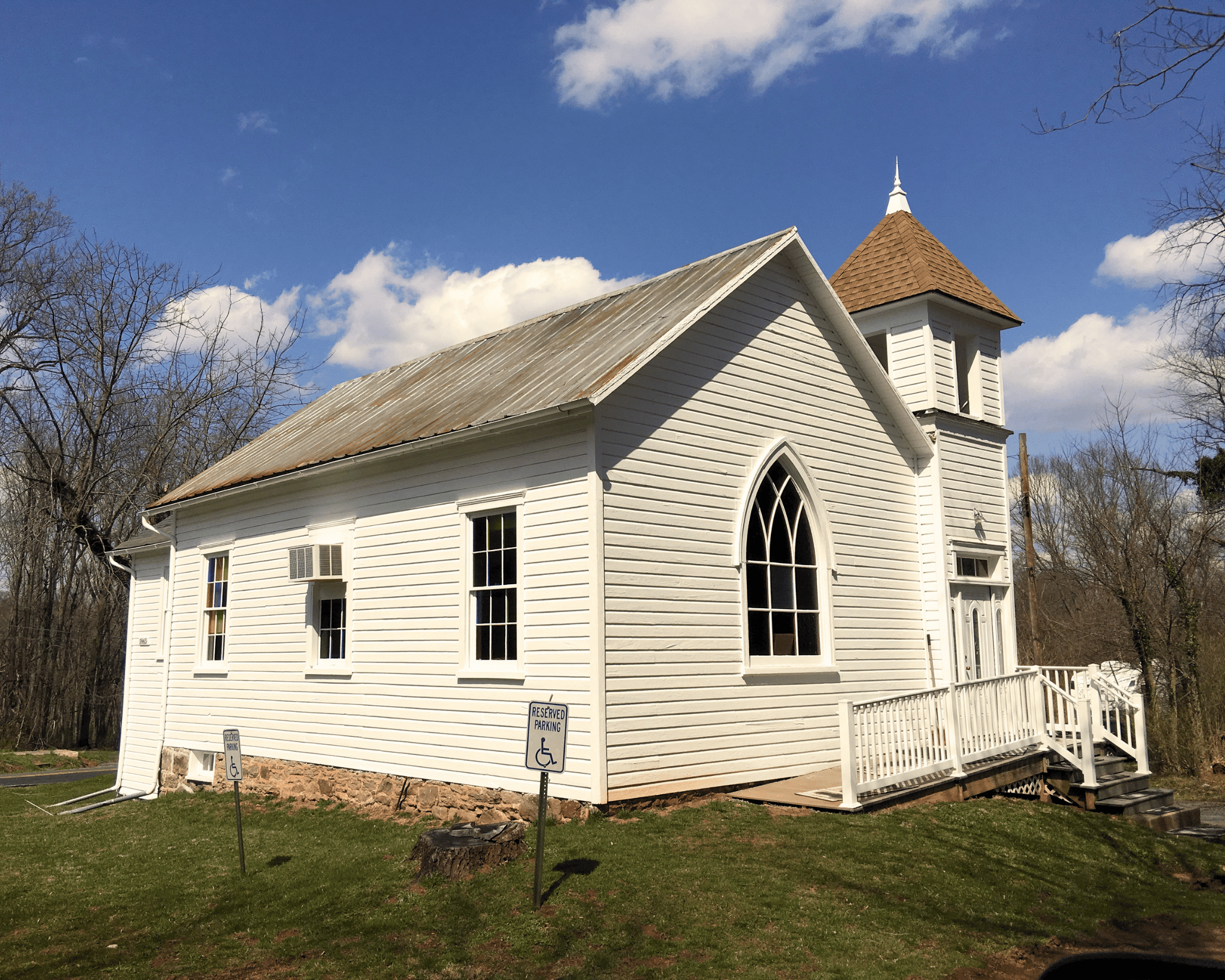
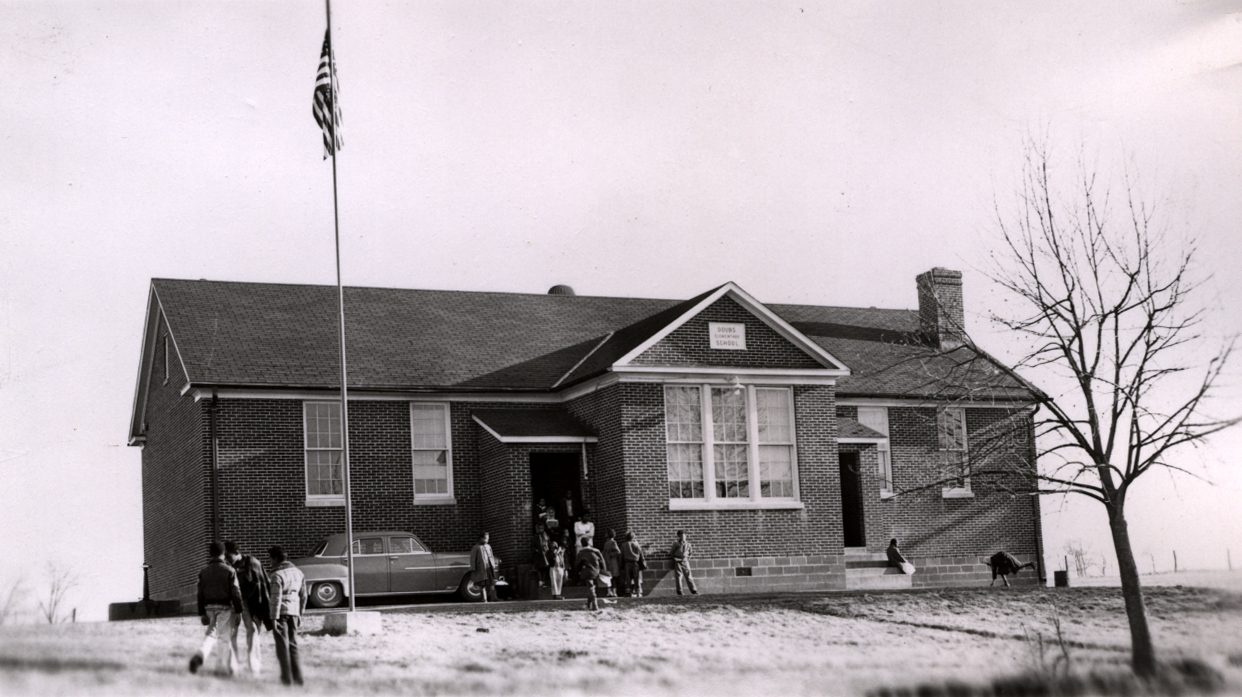
The village of Pleasant View is located on the northwest corner of the former Moreland Plantation. Benoni Lamar acquired 238 acres of Manor land from Catherine Harper (Charles Carroll of Carrollton’s youngest daughter) in 1859. Lamar died two years later and Moreland was purchased by John White, who reported in 1868 that prior to the end of slavery in Maryland in 1864, he enslaved six men, two women, and three children on his farm. The Ambush and Harris families established Pleasant View after the Civil War and several families who were previously enslaved on the Manor settled here. The village grew to include a school and the Pleasant View Methodist Church, built in 1910 on land purchased from Patrick and Henrietta Ambush.
Continue south on Pleasant View Road. Turn right onto Tuscarora Road and follow into Point of Rocks. Turn left to enter the MARC Rail Station parking lot. The train station will be on your left.
Site 9: Point of Rocks Train Depot
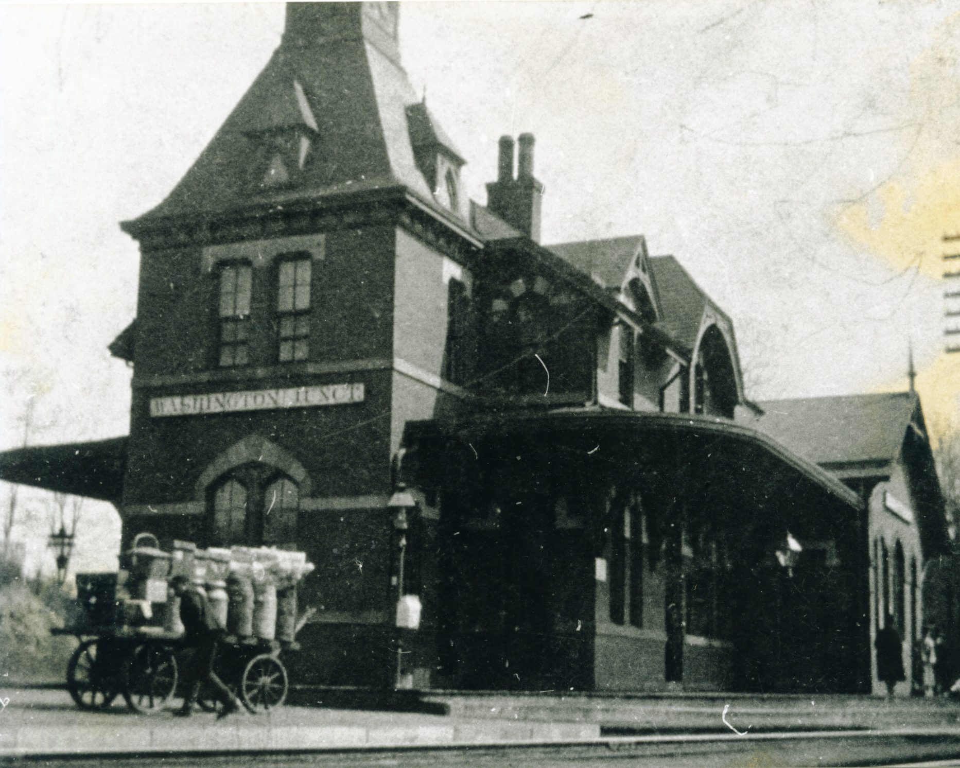
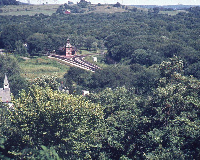
One of the most photographed train stations in the United States, the unique Gothic Revival style passenger depot in Point of Rocks was completed in 1873 when the Metropolitan Branch of the B&O Railroad opened. Designed by B&O Railroad architect Ephraim Francis Baldwin, the station stands inside the junction of the Old Main Line (left when looking at the front of the building) leading to Baltimore and the Metropolitan Branch (right), leading to Washington, D.C.
Continue past the train station through the parking lot. Upon arriving at Monroe Street, the next site is directly across from you by the wayside markers in the park.
Site 10: Meeting of the C&O Canal and B&O Railroad
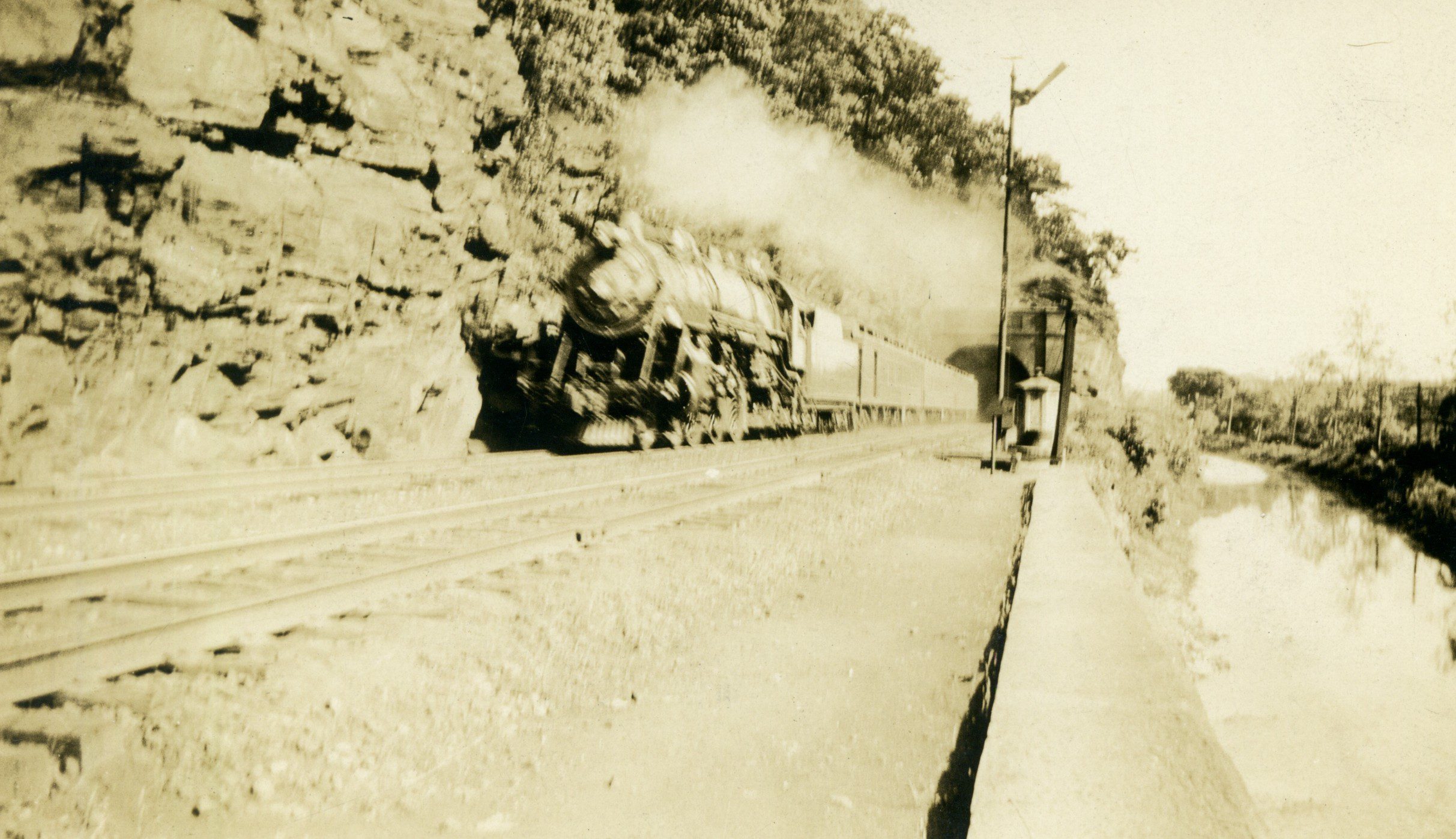
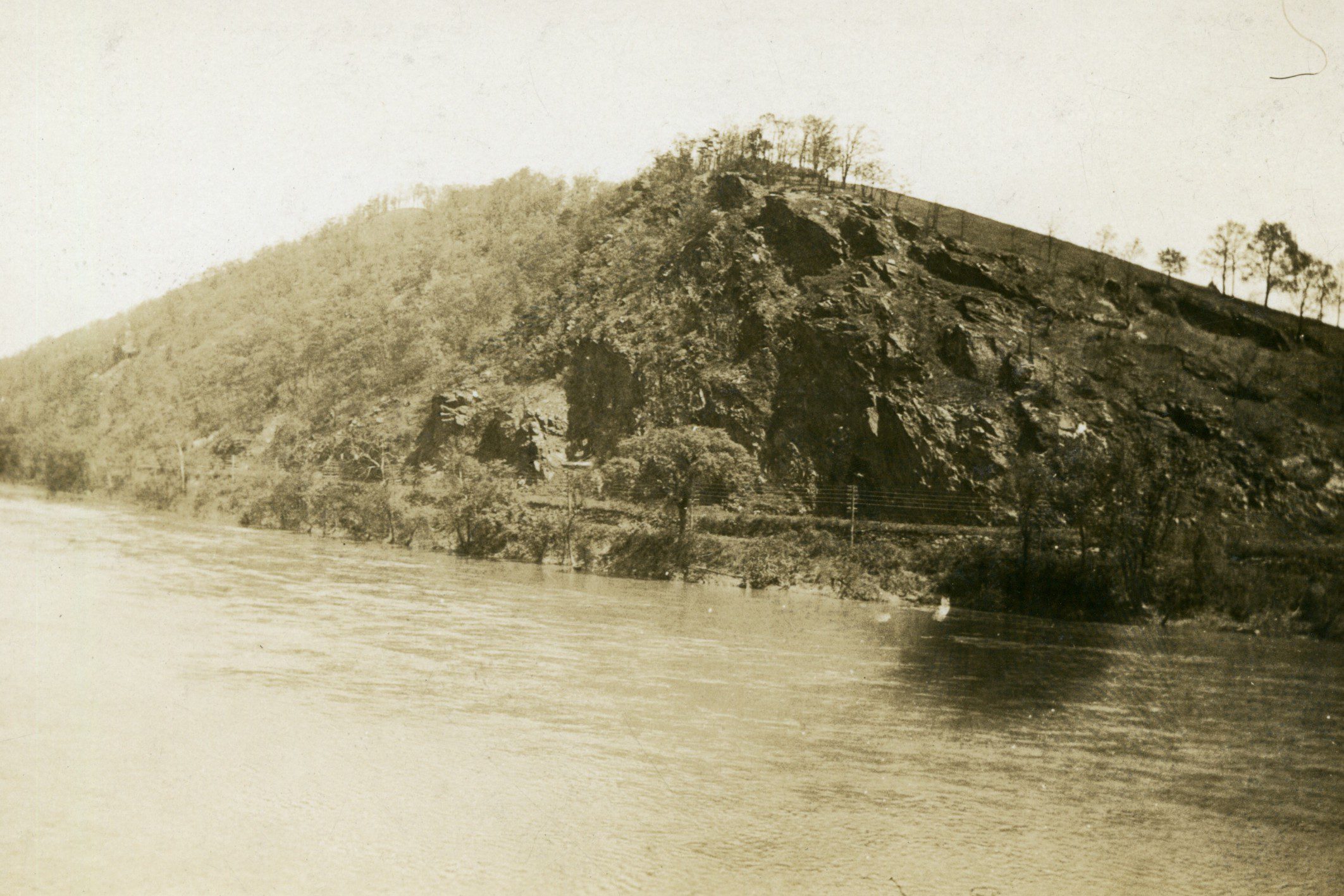
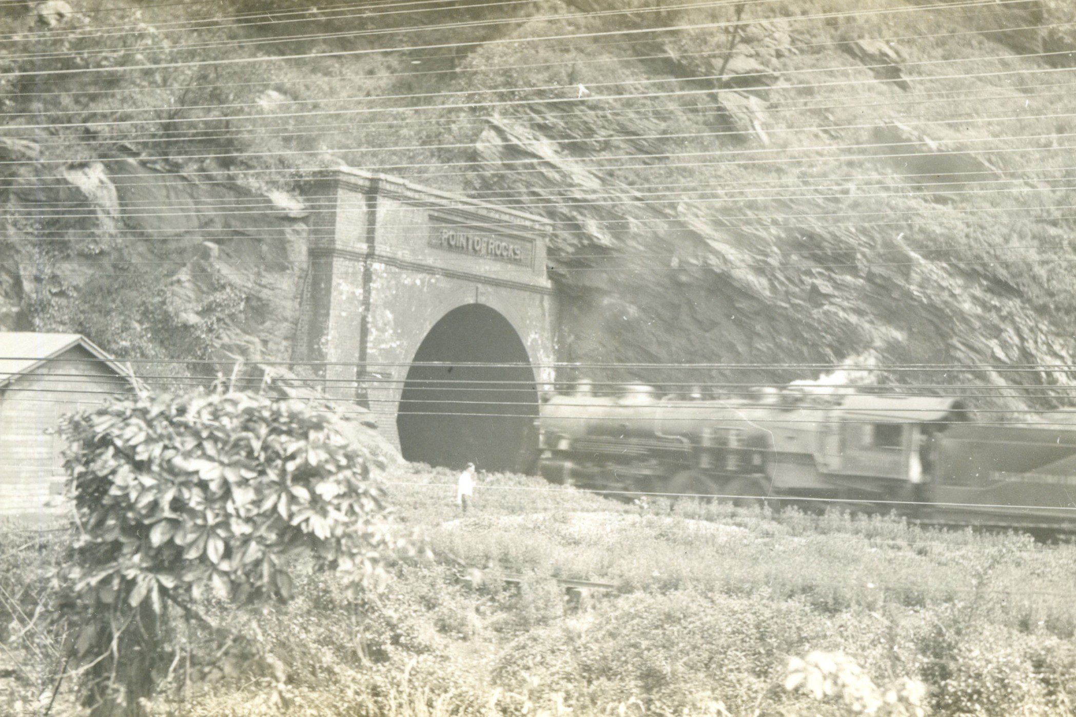
Innovative transportation projects transformed Carrollton Manor in the 1830s. On July 4, 1828, President John Quincy Adams led the groundbreaking ceremony for the Chesapeake and Ohio Canal, fulfilling a project envisioned by George Washington over half a century earlier to provide a navigable route up the Potomac River from the nation’s capital city. On the same day, Charles Carroll of Carrollton laid the first stone in Baltimore for the first public-use railroad in the United States. The railroad reached Point of Rocks in 1832, traveling through the heart of Carrollton Manor. The canal and railroad companies engaged in a four-year legal battle for the right of way around the rocks west of town, ultimately agreeing to share the narrow river bank.
Leaving the park, turn left onto Monroe Street. Turn left onto MD-28 and then right onto Ballenger Creek Pike. After traveling .6 miles, the next site will be on the left, across from Hobbit’s Glen Road.
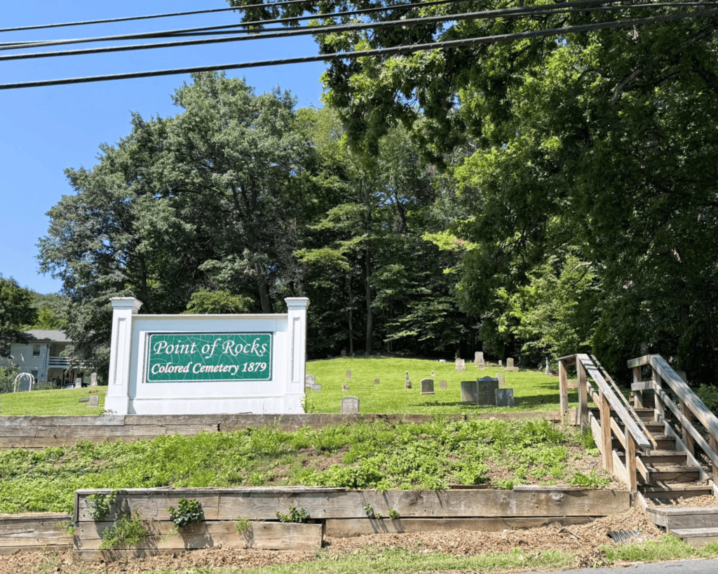
Site 11: Point of Rocks Colored Cemetery
Free and enslaved African Americans organized Kennedy Chapel Methodist Episcopal Church at Point of Rocks in the 1850s. The church was likely named for the Rev. Alexander Kennedy who served several African American congregations on Carrollton Manor where he sought to improve educational opportunities. The first Black schoolhouse in Point of Rocks was burned in 1868 “by ruffians” according to Rev. Kennedy. The Ku Klux Klan was active in the Point of Rocks area in the years after the Civil War. The Freedmen’s Bureau opened a school here in 1869 and land adjoning this cemetery was purchased in 1872 for the construction of a public school for Black students. The cemetery was deeded by William Whalen for the use of the African American community in around Point of Rocks in 1879.
Continue north on Ballenger Creek Pike. The next stop will be on the right shortly after the intersection at MD-484. Parking is available at this site.
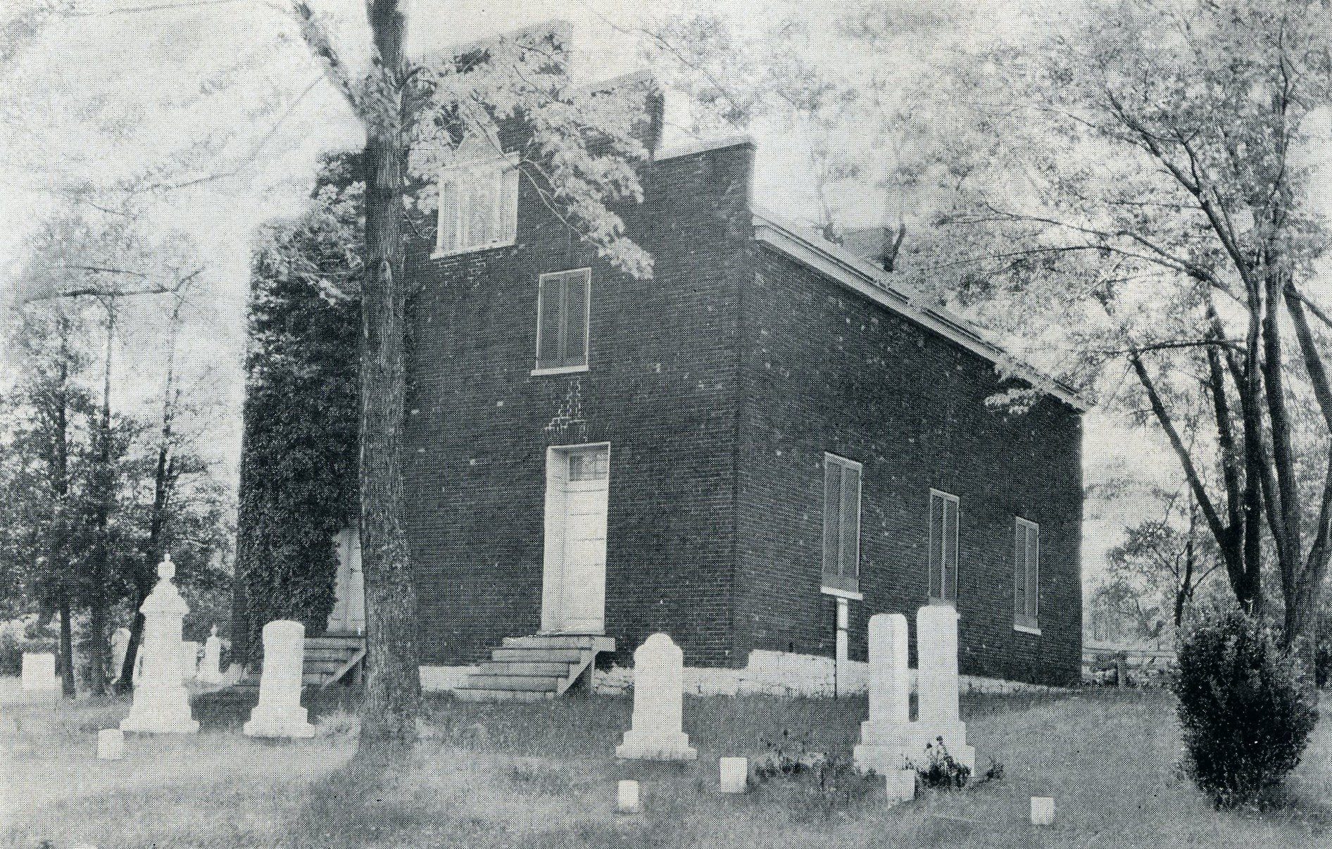
Site 12: Saint Paul’s Episcopal Church
The Duvall and Wirts families contributed the land for Saint Paul’s Church. Enslaved people labored to cut and prepare timbers and fire bricks for the church during its construction in 1842. The original galleries survive within Saint Paul’s where enslaved and free Black members sat during worship services. The church was used by the U.S. Army during the Civil War as an encampment site and hospital. Two historic slave cemeteries from the nearby Ballard and Duvall Farms have been relocated to the graveyard at Saint Paul’s Church.
Continue north on Ballenger Creek Pike. After traveling 1.6 miles, you will reach the next site.
Site 13: Cooling Springs Farm
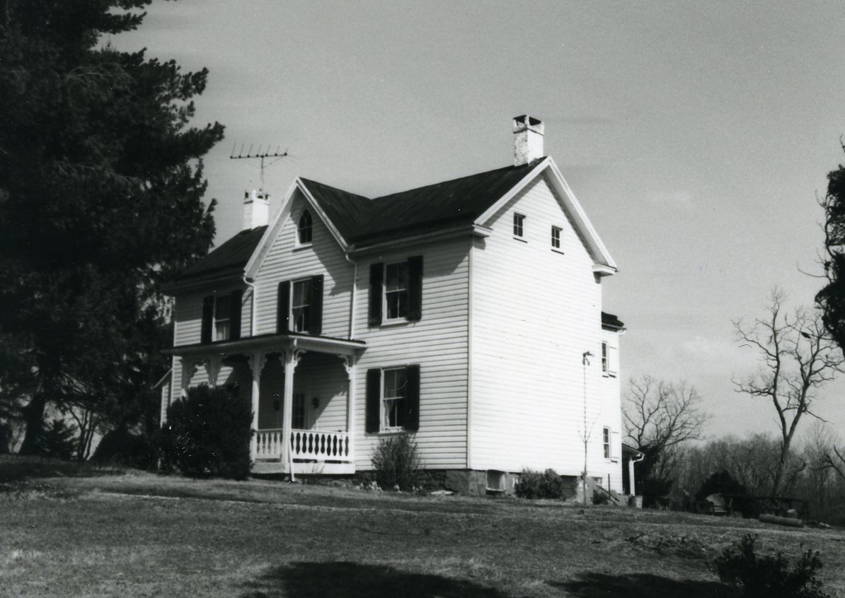
Andrew and Barbara Michael settled on this land in 1768. Their grandson, Ezra Michael, built the present farmhouse in 1879. This property is believed to have served as a safehouse for enslaved people seeking freedom along a route of the Underground Railroad that passed through Carrollton Manor along the B&O Railroad, which runs along the eastern edge of Cooling Springs Farm. Frank Wanzer, Emily Foster, Barnaby Grigby, and Mary Elizabeth Grigby escaped from Loudoun County, Virginia, on Christmas Eve 1855 and followed the B&O Railroad, passing by Cooling Springs Farm. They eventually made it to freedom in Canada.
Continue north on Ballenger Creek Pike. After traveling 3.7 miles, you will reach the next site.
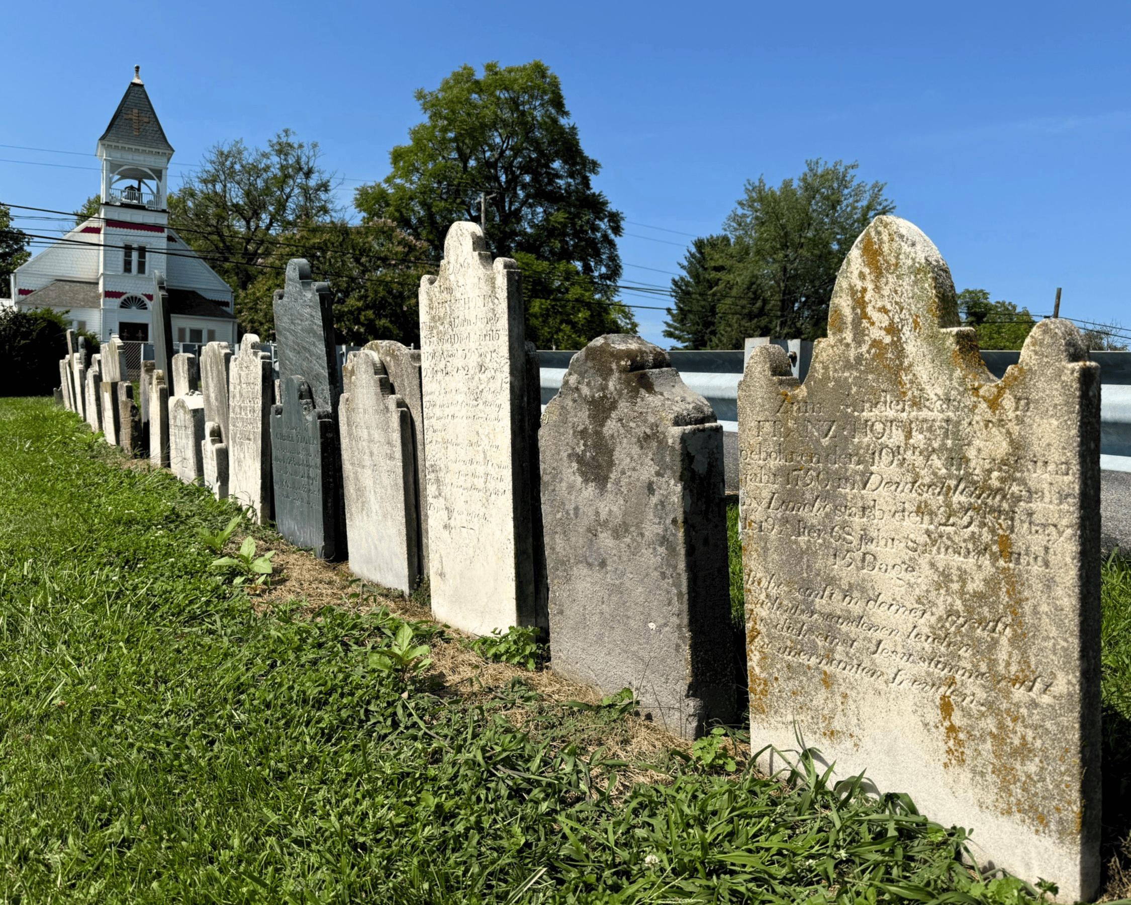
Site 14: Manor Cemetery at Church Hill
The earliest religious organizations on Carrollton Manor were established near Church Hill. Moravian families living on Carrollton Manor received a lease of ten acres along Tuscarora Creek just north of the present Manor Cemetery in 1768 from Charles Carroll. They built a log meetinghouse on the site. German Reformed and Lutheran congregations built a union church in 1812 “near the old [Moravian] meetinghouse.” This church stood within the present Manor Cemetery. Along the side of the parking area are early gravestones, some inscribed in German, from the nearby Thomas farm. The Thomas family were among the early tenants of the Manor.
The northern boundary of Carrollton Manor is about one mile north of this site.
This site concludes the driving tour. To return to the starting point, head south on Ballenger Creek Pike and then turn left onto Manor Woods Road.
Leaving Manor Cemetery, you can turn right onto Ballenger Creek Pike and follow towards Frederick.